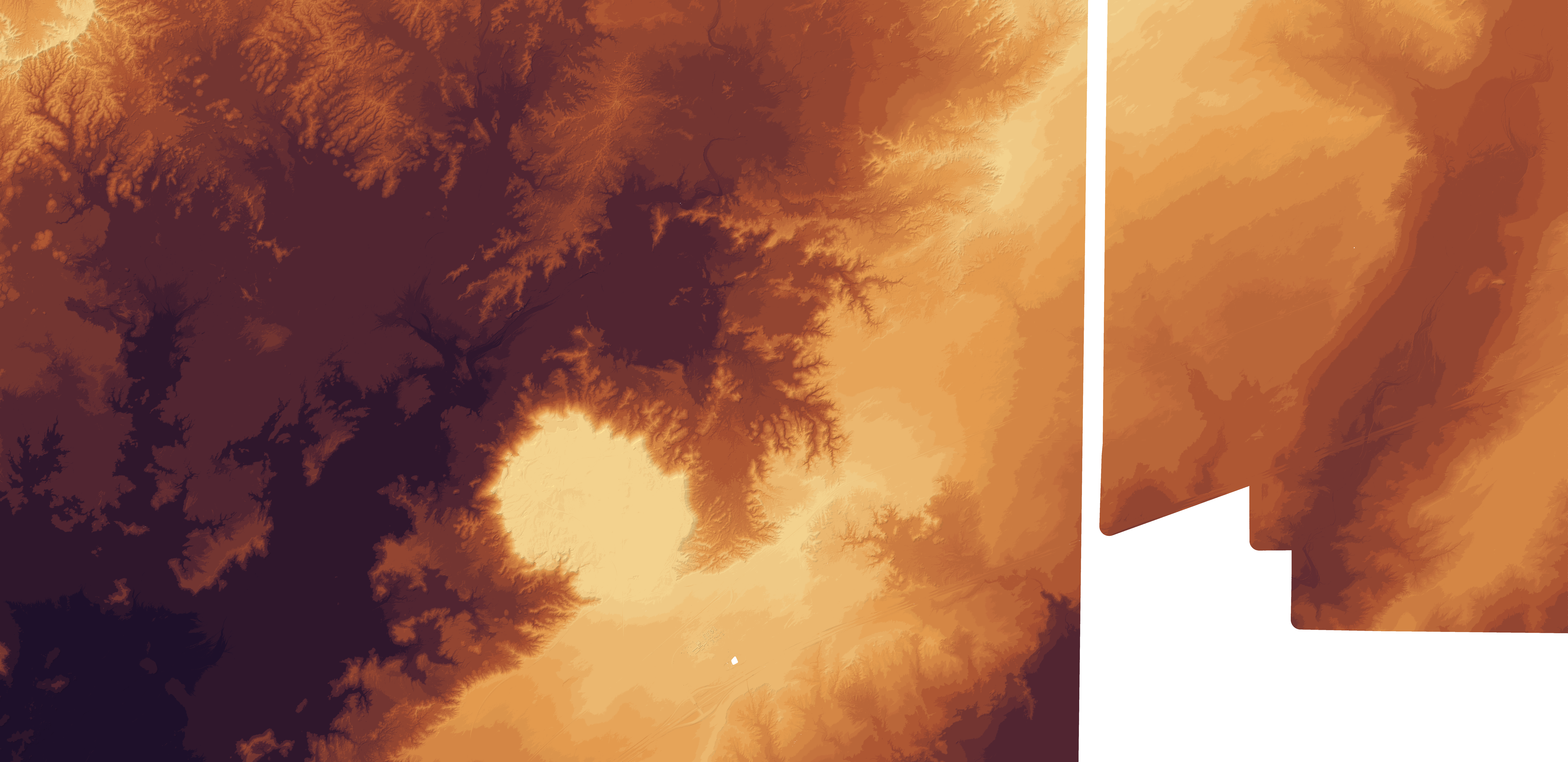
Vetted route geometry
Normalize every state layer into GeoJSON with era, source, license, confidence, access, surface, and reviewer fields.
Roadie companion map
Use the clean route overview first. Zoom in for every destination, roadside attraction, bridge, motel, old roadbed, and research pin without turning the whole Mother Road into a wall of markers.
The 1926–1937 Santa Fe Loop now follows detailed roadway geometry through Santa Rosa, Romeroville, Santa Fe, Albuquerque, Los Lunas, and Laguna instead of a point-to-point flyover. Its separate pink La Bajada evidence layer shows the mapped historic road through the 1926–1931 district for history only—not as driving directions—because NPS documents multiple branches, motor access is restricted, and the track is extremely rough. Rendered USGS 3DEP LiDAR also appears directly on this map for the Painted Desert proof corridor.
Location is not requested until you tap the button.
One route, one destination graph
Open the full directory to search by state, category, status, or name. Each record keeps its source trail and can jump back to its exact map position.
Accuracy plan
The map zooms to street and block level while each alignment keeps a visible confidence label. Route accuracy comes from licensed or attribution-ready GIS, public map data, state sources, preservation research, and approved field surveys.
Normalize every state layer into GeoJSON with era, source, license, confidence, access, surface, and reviewer fields.
Approved GPX/KML field surveys can become public, member-only, or research-only overlays with source notes and permission attached.
Every line tap should explain whether it is current, historic, abandoned, uncertain, private, drivable, or preservation-sensitive.
Historic aerial timeline
The long-term target is a licensed year-by-year aerial layer from Chicago to Los Angeles: old roadbeds, bypassed towns, motel courts, bridges, gas stations, and neon districts visible under today’s route map.
Aerial controls
The year slider is designed for licensed historic aerial layers so travelers can compare old roads, bypasses, motels, signs, and towns against the current map.
No scraping, tracing, caching, re-hosting, screenshots, or public tiles unless a written license allows the exact use.
Store licensed GeoTIFF/COG/PMTiles privately, publish only approved web tiles, and serve them with attribution and access controls.
Show available years by map area, then compare old aerials with current roads, route vectors, QR stops, and preservation stories.
Sourced stop history
The map can carry story dossiers for owners, builders, bridge designers, road crews, preservation volunteers, source links, and unresolved archive leads.
USGS 3DEP LiDAR corridor
The free-data path is USGS 3DEP: index every LiDAR product that intersects Route 66, stream point clouds where possible, and derive bare-earth terrain, surface models, hillshades, and old-road research candidates.
Live LiDAR modes
The first real proof area is the Painted Desert Trading Post close-up. The broader west corridor now extends south past the Petrified Forest Route 66 marker area to keep the old-road dip in view, using 67 USGS 3DEP products processed into 2-meter hillshade and color-relief overlays.
Tap “Show rendered LiDAR” on the main map to display real orange relief and gray hillshade imagery directly over the route. No separate LiDAR viewer is required.
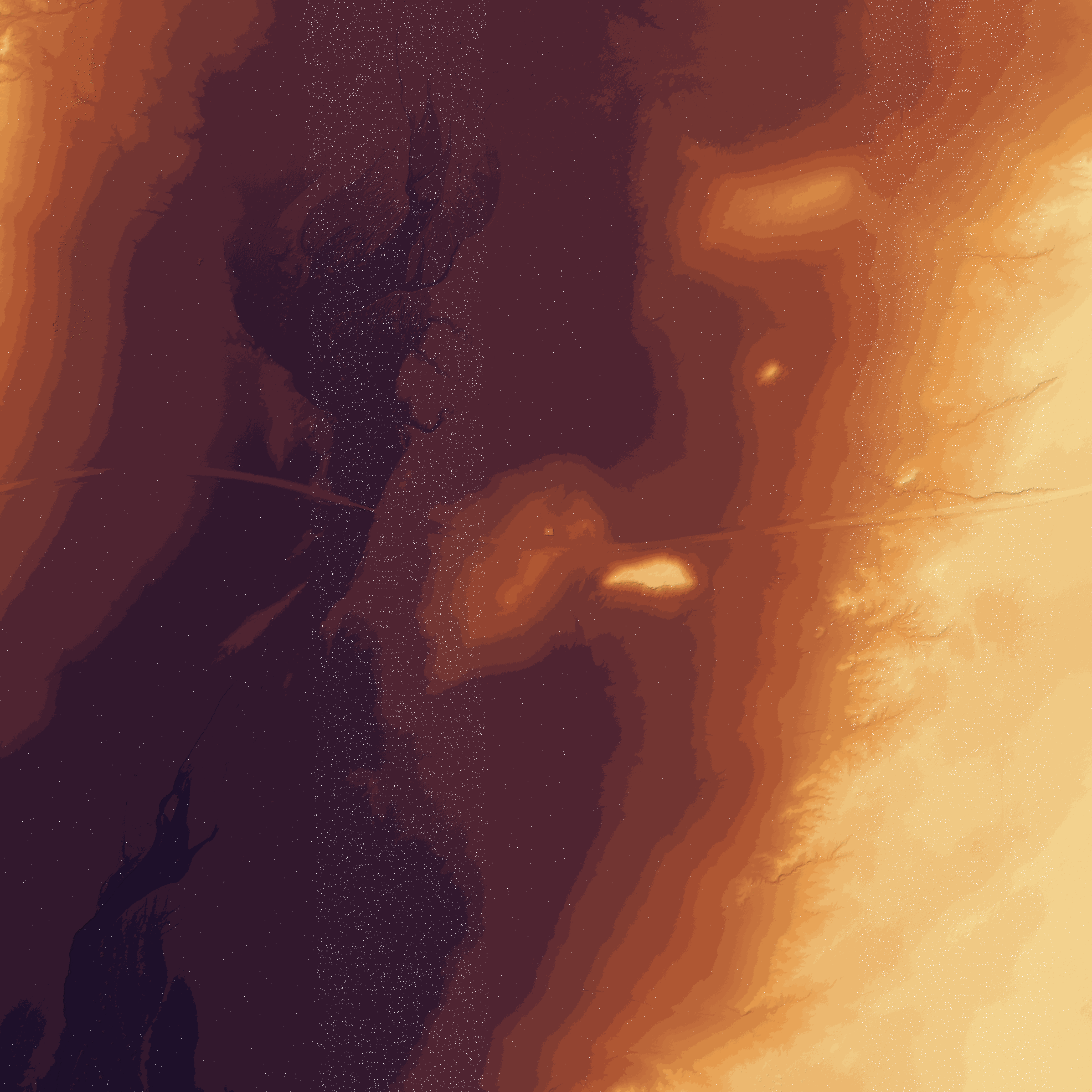
Use LidarExplorer, TNM Access API, 3DEP coverage footprints, AWS EPT, and Planetary Computer COPC to find available data.
Process proof areas into DTM, DSM, hillshade, slope, intensity, and classification layers before publishing anything heavy.
Attach reviewed point-cloud scenes to places, QR signs, lost alignments, bridges, terrain passes, and preservation stories.
Display a clean 10-mile buffer around the tighter route-snap, old alignments, and lost-road research zones.
Curated Route 66 stops
Stamp featured stops, build a road log, and use the passport page for GPS/photo proof when a verified reward or badge is available.